

Fisheries
Five of Marin Water’s seven reservoirs are within the Lagunitas Creek watershed on Mount Tamalpais. Water is diverted from the creek’s basin to provide essential water supply for more than 190,000 people in southern and central Marin. As stewards of the watershed, and in compliance with state water rules developed in 1995, it is also Marin Water’s duty to take care of protected and endangered species downstream of Peters Dam on Kent Lake. Our work to improve habitats for coho salmon and steelhead trout also benefits the overall ecological health of our precious watershed.
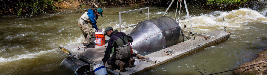
Marin Water’s fisheries program is widely recognized as a leader in the area of salmon conservation. We have comprehensive programs to monitor the different salmon populations and enhance their natural habitats. Lagunitas Creek is a spawning and rearing ground for endangered coho salmon and steelhead trout. We collaborate with other downstream land management agencies to restore habitats and fisheries, to preserve what is now one of the largest remaining population of Central California Coast coho salmon.
Since 2019, Marin Water has been implementing the Lagunitas Creek Watershed Enhancement Project, a multi-year restoration effort to enhance 13 strategic sites encompassing 4,450 linear feet of stream channel to improve spawning habitat for protected and endangered aquatic species within Lagunitas Creek.
Visit the Leo T. Cronin fish viewing area to see salmon during spawning season, from December through January. The shallow water upstream of the parking lot is consistently one of the busiest spawning areas in Lagunitas Creek.
For Lagunitas Creek surveying updates from Marin Water’s Fisheries Team, visit Creek Notes and subscribe to have these special reports emailed to you.
Leo T. Cronin Fish Viewing Area FAQs
What is the Leo T. Cronin Fish Viewing Area?
A fantastic place to see wild salmon in California is located between the town of Lagunitas and Samuel P. Taylor State Park at the Leo T. Cronin Fish Viewing Area. Marin Water maintains a parking lot and trail along Lagunitas Creek where visitors can watch adult salmon spawning beneath a canopy of redwood trees. Across the road from the Fish Viewing Area, salmon can sometimes be seen jumping up a small waterfall!
How do I get to the Leo T. Cronin Fish Viewing Area?
The Leo T. Cronin Fish Viewing Area is open to the public sunrise to sunset. The small parking lot fills up quickly, particularly on weekends. From Highway 101:
- Take the Sir Francis Drake Blvd exit and head west. Travel about 9 miles, through Greenbrae, Kentfield, Ross, San Anselmo, Fairfax, and out to the San Geronimo Valley.
- Continue west for about another 5 miles, past the towns of Woodacre, San Geronimo, Forest Knolls, and Lagunitas.
- Cross over Shafter Bridge, which is about ½ mile west of the Lagunitas store, and immediately turn left, into the parking lot of the Leo T. Cronin Fish Viewing Area. If you pass the sign on the right for Samuel P. Taylor State Park, you have gone too far.
What does salmon spawning look like?
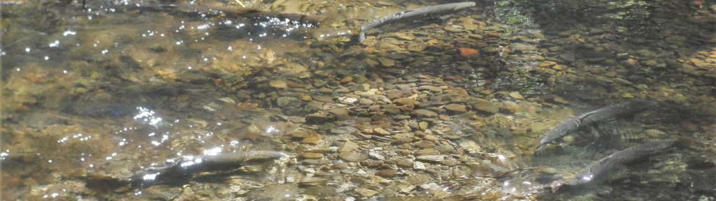
Two-foot-long female salmon excavate large nests, called redds, in shallow, fast water. By turning on their sides and beating their tails against the streambed, they create a pit into which they lay thousands of eggs. Bright red male salmon chase and fight with each other for the right to fertilize the eggs.
What kinds of fish can be seen?
Four species of salmon (coho, Chinook, chum and pink), plus steelhead trout have been observed in Lagunitas Creek. Salmon die after spawning, while trout can return to the ocean and spawn again the next year. Chinook and coho salmon are the most abundant and easy to see. Steelhead do not linger on their spawning grounds so are not seen as often. Chum and pink salmon are very rarely seen.
How can I tell the difference between the most common species?
The brightest red fish are likely male coho salmon. The darker fish next to them, often with white tails, tend to be female coho.
Chinook salmon are quite variable in size and color. They may appear red, gray, green or brassy, but can be identified by their large, Cheeto-shaped spots on their backs and fully-spotted tails. Some also have dark blotches on their sides.
Steelhead are generally gray with a red stripe along their sides.
Using binoculars and polarized sunglasses can help with fish identification.
When can I see spawning salmon?
November is typically the best time to see Chinook salmon, while December is typically best for coho. Salmon migrate upstream when the creek is swollen and muddy with runoff. The best time to see them is just as the water begins to clear, usually a day or two after a significant rain. The small parking lot at Leo T. Cronin Fish Viewing Area is open sunrise to sunset, but it fills up quickly on weekends and holidays. The fish are easily frightened, so visitors should stay on the road and trail, keep their voices low, and keep dogs leashed. Viewing salmon with binoculars is recommended.
How do the fish find their way to Lagunitas Creek?
Most of these fish found their way from the open ocean to the mouth of Tomales Bay by sensing the earth’s magnetic field and then following the unique scent of their home stream. Some of these fish are strays, either born in hatcheries or in other streams, and may have been attracted by the year-round flows of Lagunitas Creek.
Is fishing allowed?
No. Coho salmon are an endangered species, so fishing is prohibited downstream of Peters Dam year-round.
Resources
- Lagunitas Creek Spawner Dashboard
- Lagunitas Creek Watershed Enhancement Project
- Salmon in Lagunitas Creek
- Lagunitas Creek Stewardship Plan
- Watershed Stewards Program
- Lagunitas Creek Technical Advisory Committee Agendas & Minutes
Recent fish reports
- Juvenile Salmonid and Smolt Monitoring 2024-25
- Adult Salmonid Monitoring 2024-25
- Lagunitas Creek Salmonid Habitat 2022-23
For previous reports, please reach out to Watershed@MarinWater.org.
Wildlife
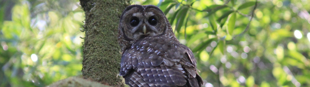
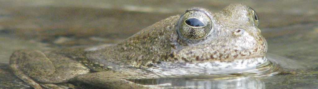
The Mt. Tamalpais watershed is home to 400 species of wildlife, and includes rare, threatened, and endangered species. We are committed to sustaining the ecological health and biological diversity of the watershed, with programs to monitor wildlife such as the northern spotted owl, osprey, the yellow-legged frog and the western pond turtle.
Long-term monitoring is an important tool in wildlife conservation as it provides a wealth of useful information about ecosystem health, species presence, and population trends over time. The District supports long-term monitoring programs for a number of wildlife species. The District has also conducted a limited number of targeted inventories, short term surveys designed to determine the presence or absence of target species.
Marin Water is fortunate to have strong community partnerships that help us care for our watershed. We work together through volunteer programs, educational programs with our local schools, and partnerships like One Tam—a coalition of agencies working to preserve and protect Mt. Tamalpais that includes Marin Water, the National Park Service, California State Parks, Marin County Parks, and Golden Gate National Parks Conservancy.
Resources